Description
Accommodation
BER Details
Directions
Viewing Information
Negotiator Details
Show more...
 512 m2
| Beds | |
| Price | Sale Agreed |
| Property Type | |
| Size | 512 meters2 |
| Energy Rating | BER-Exempt |
| Refreshed on | |
| Eircode | |
| Group Name | Sherry FitzGerald Coghlan |
| Sales License Number | 003568 |
Description
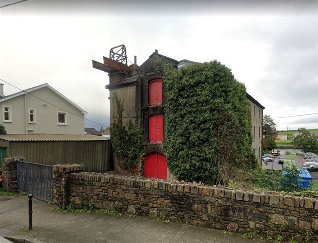
Split level three storey over basement masonry mill building with pitched hipped slate roof and lean to single storey extension to rear. This property has access from Annadale road and access to site and building from the car park to the rear. The walled site extend to 0.166 acre approximately. Each of the buildings four floors are open plan and extend to 548 sq. m. (5,907 sq. ft.) nett internal area. The site is zoned "Town Centre" in the Killorglin functional area local area plan. The mill building is a listed protected structure (No. 8 of Map 3b of Local Area plan) The building and site would be suitable for a wide variety of commercial/residential uses subject to planning permission. The building was built by Arthur de Moleyns between 1865 and 1870 as a mill. The mill was originally serviced by an overhead water duct sourced from Farrantoreen Lake driving the mill and discharging to the Laune river. The building has had many uses over the years including mill, sawmill, grain store, bakery, farmers market and defence force drill hall.
Accommodation
Basement 16.44 x 7.65 (125.76 sq. m.). Lean to rear extension 9 x 4.3. Ground Floor 16.77 x 7.64 (128.12 sq. m.). First Floor 16.77 x 7.64 (128.12 sq. m.). Second Floor 16.77 x 7.64 (128.12 sq. m.). Total 548.82 sq. m./5,907 sq. ft.. Ceiling Heights 2.51m (8.25 ft). Site Area 0.166 acre/672 sq.m. (7,230 sq. ft.). Services Mains water, sewage, electricity
BER Details
BER: Exempt BER No: Performance Indicator:
Directions
Leaving Killarney: Drive out Port road, take first exit off Ballydowney roundabout for Killorglin (N72). Continue on this road to Killorglin (19.2km), taking first exit at roundabout into Killorglin town. Take left onto Annadale Road, the Old Mill, is 75m on the left. GPS: 52.105681, -9.784312
Viewing Information
Strictly by appointment with Sherry FitzGerald Killarney on 064 6631892
Negotiator Details
Michael Coghlan
16 & 16A Fleming's Lane, Killarney, Co. Kerry
"Loch gCoiteáin", Dromdiralough, Muckross, Killarney
Site With Outline Planning, St Mary's Terrace, Killarney, Co. Kerry
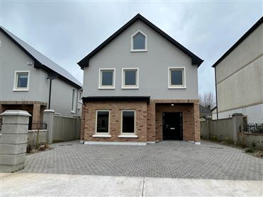
4 Bluebells Grove, Countess Road, Killarney, Co. Kerry
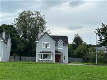
67 Rossdara, Loreto Road, Killarney, Co. Kerry
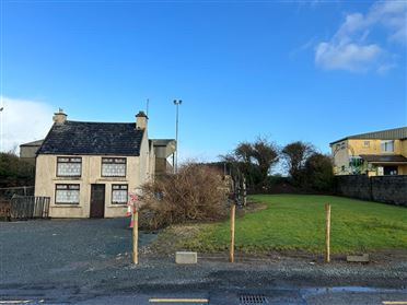
West End, Gneeveguilla Village, Co. Kerry
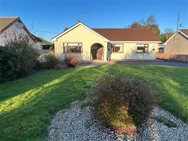
Gortagullane, Muckross, Killarney, Co. Kerry
Toornanaunagh, Gneeveguilla, Co. Kerry
Derelict Farmhouse On 10.45 Acres, Lisheen, Gneeveguilla, Rathmore, Co. Kerry
9.04 Acres Agricultural Land (A), Laharn, Killorglin, Co. Kerry
11.46 Acres Agricultural Land, Laharn, Killorglin, Co. Kerry
Date created: Nov 27, 2020